A Quest Analysis, Inc Company
Quest 3D Solutions proudly offers aerial and terrestrial reality capture services assisting you in your endeavors – ensuring that your projects maintain the highest accuracy and integrity, providing the detail you require.

The How
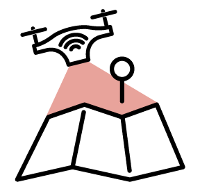
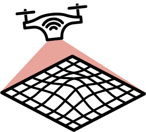
Aerial Mapping
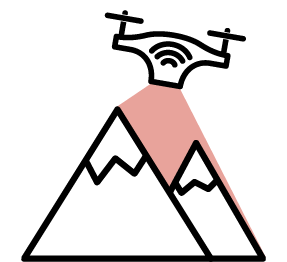
Aerial LiDAR
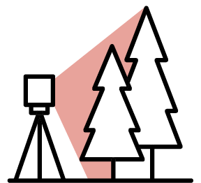
Terrestial LiDAR
Photogrammetry
Services we provide
Pre-build Modeling
As-built Modeling
Mapping
- Topography
- High Resolution Mapping
- Corridor Mapping
Thermal Inspection
Site Monitoring
Plant Health Surveys
Photography
Videography
Industries We Serve
Energy Infrastructure
Allow Q3DS to be a part of the process in your company’s next energy project. Days can turn into weeks when a crew has to manually measure and record miles of distribution or transmission lines. Siting for a new oil or gas pad location can be time consuming. In addition, these processes can often be dangerous and increase liability. Allow us to streamline your process and help you create accurate pre-builds and as-builts of your projects safely, and in less time.
Services
- Pre-build and As-built Modeling
- Photography
- Vegetation Management
- Mapping – Topography, High resolution mapping
The 21st century is upon us and Q3DS can assist you on your farm and ranch. While rounding up cattle by horseback or taking soil samples for your crops may not entirely be a thing of the past, Q3DS can assist you in streamlining some of your necessary tasks, such as counting animals and analyzing crops.
Services
- Mapping – Topography, High resolution mapping
- Photography
- Plant Health Survey
- Thermal Inspection – Animal Surveys
Construction
Services
- Pre-build and As-built Modeling
- Photography
- Site Monitoring
- Mapping – Topography, High resolution mapping
- Stockpile Volume Calculation
- Fill Volume Calculation
Landscaping
Services
- Pre-build and As-built Modeling
- Photography
- Site Monitoring
- Mapping – Topography, High resolution mapping
- Stockpile Volume Calculation
- Fill Volume Calculation
Fire and Explosion Forensic Scenes
Services
- 3D Scene Modeling
- Mapping – Topography, High resolution mapping
- Photography
- Videography
Complete the Form Below to Contact Us
